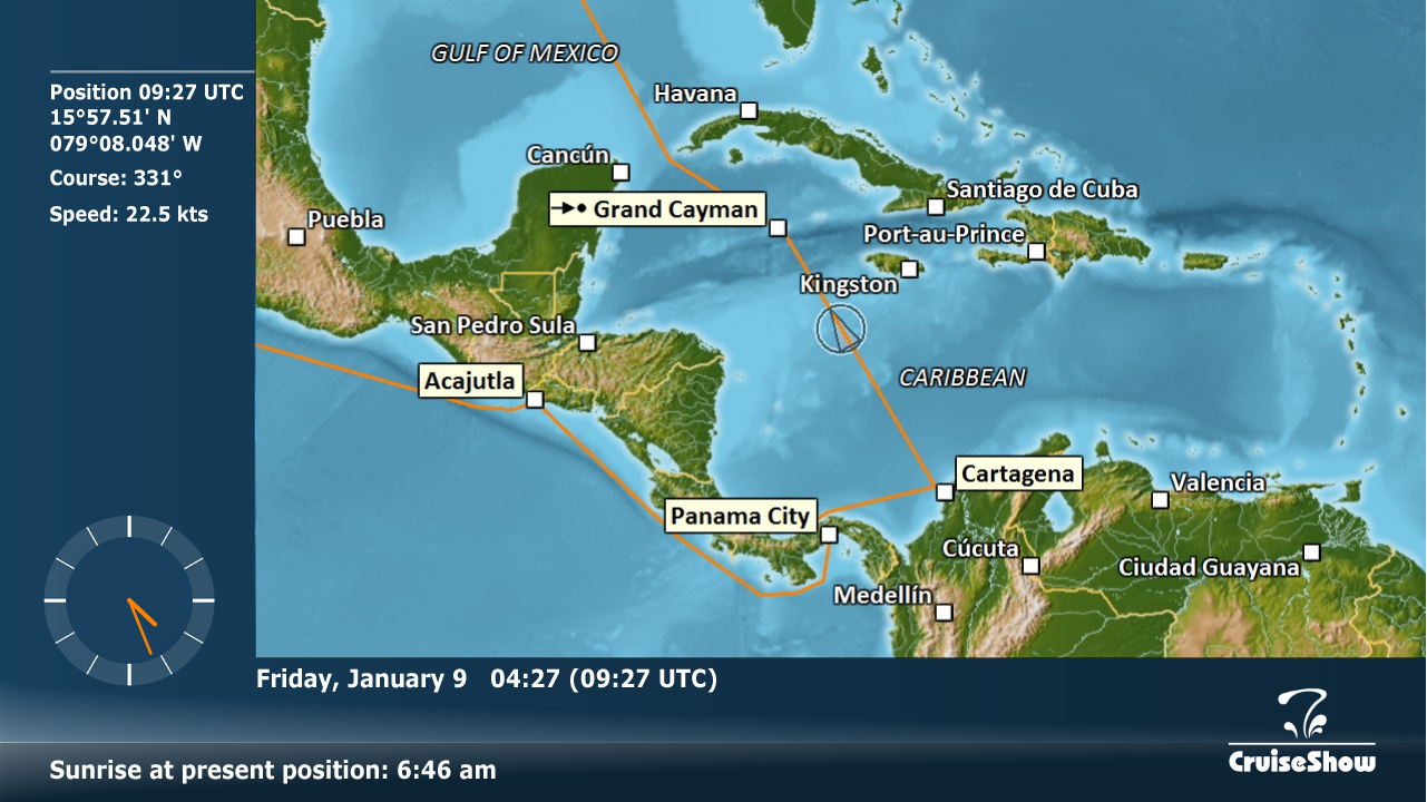


Map view is required as the base module for all other CruiseShow modules. It informs guests about all basic navigation data and displays the local date and time. In addition, it manages the data transfer to the add-on modules and also handles their sequential appearance.
The current ship's position is indicated on the base map at four different zoom levels. Ship's track and planned track can also be plotted on the map. CruiseShow's worldwide base map set consists of map data and layers derived from multiple sources which can be combined to unique map themes just by a few mouse clicks. Click here for some examples.
► Ship's position as latitude/longitude
► Present speed and course
► Ship's (local-) time and date
► Port distances (departure/destination)
► Sunrise and sunset times
► Sea depth at present position
The language for output data can be selected depending on the guest's nationality.
Multiple language selection with automatic language switching is possible for the following languages:
► English
► German
► Spanish
► French
► Italian
► Portugese
► Chinese
► Japanese
► Korean
► Arabian
To display ports of call and/or port of destination in the map, a customisable database of 3000+ port locations is available. Ports of call can be selected with a single mouse click.
Ship's date and time can be adjusted automatically if CruiseShow is connected to a ship's domain time server or a ship's clock NMEA output. Further, an UTC-offset function allows manual adjustment of date and time settings.
Although running unattended CruiseShow allows a wide range of user defined settings.
For this purpose CruiseShow comes with a comfortable user interface performing tasks such as
► View sequence setup and add-on modules management
► Map style configuration
► Data interface control
► Port database management
► Language settings
[ Contact ]
[ Privacy ]
[ Imprint ]
T: +49 (0)8363 6025
T: +49 (0)8363 6025